I recently shared some seaside snaps from my great uncle's photo collection.
I often look at photos and wonder exactly where they were taken, except I don't have the skills of GeoWizard when it comes to geolocating a photo. Instead, I have to live with just using photos from the same batch for context, the few captions that were added to photos, and a little bit of reverse image searching. Or just cheat and use my knowledge, especially when they're photos from my home area.
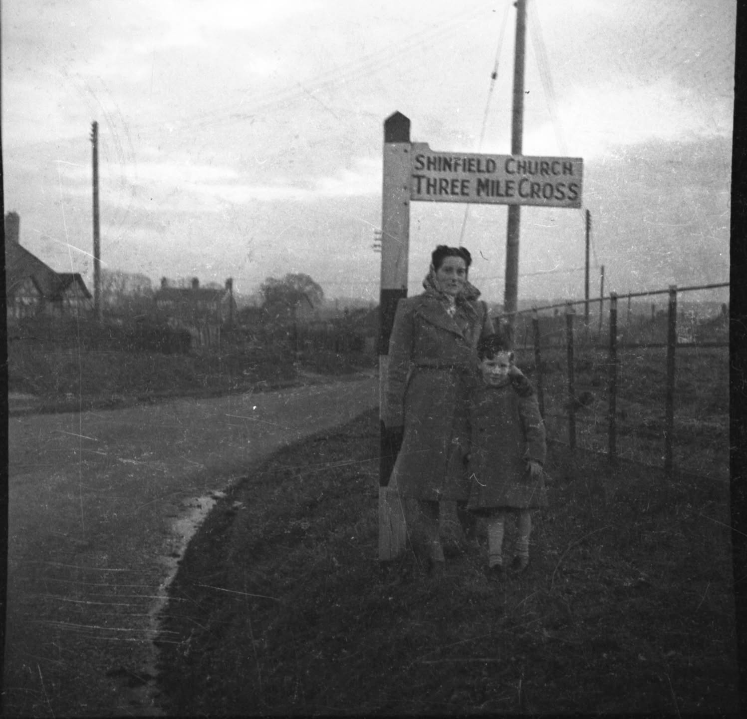 Let's use an example of one of those that I definitely know to get started. This photo is of my dad and his mother taken, I'd say, around 1948. I know just from looking at the signpost where this photo was taken - the junction of Church Lane with Hollow Lane, Shinfield - but how can I prove and map that?
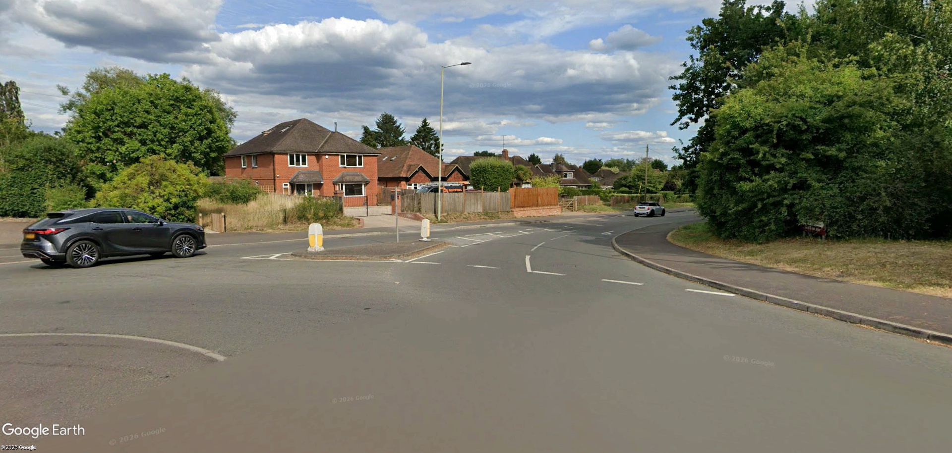
Whilst I know where this photo was taken, there's a slight level of difficulty in matching things up using modern-day imagery through Google Earth / Street View due to the substantial housing developments and road adjustments that have been made, but that bungalow on the left with the distinctive timbers can be very quickly found.
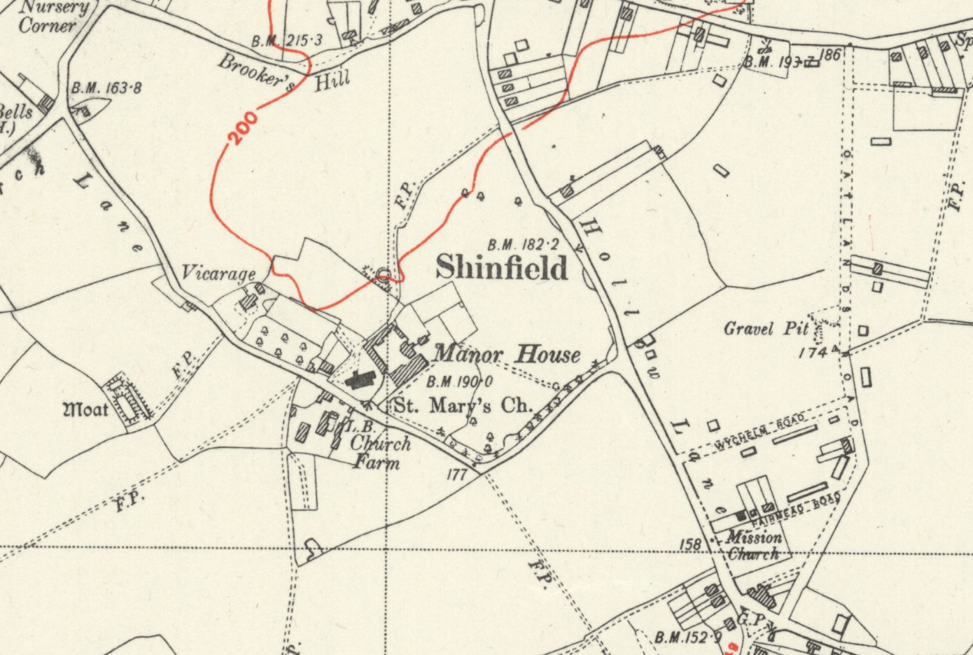
The closest OS Map available from the NLS is one revised in 1938 and published c1946, which would be, I'd say, a couple of years before the photo was taken.
Not advised for learner drivers
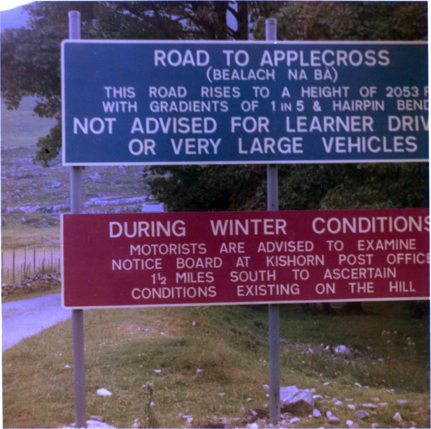 Let's up the difficulty a little bit. This photo has a caption, "July 1969. In our 1100 Morris car 'Red' - we went to the top." Not much there to help us pin it on a map. This one was in a photo album with others around it mentioning Scotland, but everything we need is captured in the photo itself.
Two place names are mentioned, Applecross and Kishorn. The road this sign refers to has its own name, Bealach na Bà, Scottish Gaelic meaning "cattle pass". Originally the only road linking the Applecross peninsular with the mainland, this single track pass is now the location for a number of cycling and motoring events.
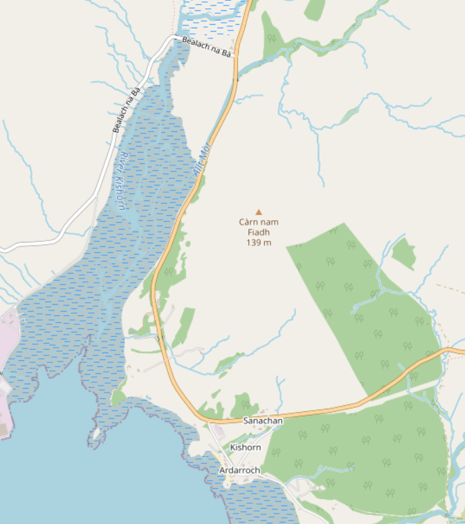 Placing it on a map, you could either locate Applecross and work your way back, or find Kishorn and head north 1½ miles. The latter is the approach I took and sure enough, just to the north you can see the Bealach na Bà pass clearly labelled in OpenStreetMap.
Copying the location over to Google Earth and you can see the sign has been replaced over the years. The current version has very similar wording for the top half, but also mentions caravans and motorhomes in the types of vehicle the road's not suitable for.
And, instead of referring drivers to the Kishorn post office for winter weather advice, the new sign redirects you to the longer route around the north of the peninsula which opened six years after this photo was taken. Instead of an 11 mile road taking around 30 minutes, the diversion adds another 50 minutes and 21 miles to your journey.
![A Google Street View screenshot showing the same sign in more recent years. The top part is white on blue and reads: "Road to Applecross (Bealach na Ba). This road rises to a height of 2053 Ft. with gradients of 1 in 5 and hairpin bends. Not advised for learner drivers, very large vehicles or caravans and motorhomes after first mile." The second part is white on red and reads: "Alternative low level route via Sheildaig - Kenmore - Applecross Road, 7½ miles [right arrow]".](/images/applecross%20sign.jpg)
 Kyle of Lochalsh
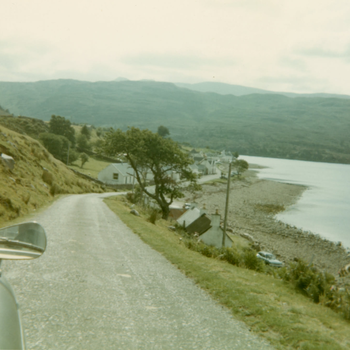
For the next photo, we're actually staying in the same area, not that I knew that when I first saw the photo, but I knew it'd be Scotland, based on other photos in the batch. To locate this one, I actually used a bit of reverse image searching in Google with additional keywords like "Scotland", "highlands".
Reverse image searching can be very hit-or-miss, which is probably what you would expect - if you're trying to identify something specific or niche, you'll probably be disappointed. Here, I was just hoping to get an approximate location that I could then explore in Street View to line up.
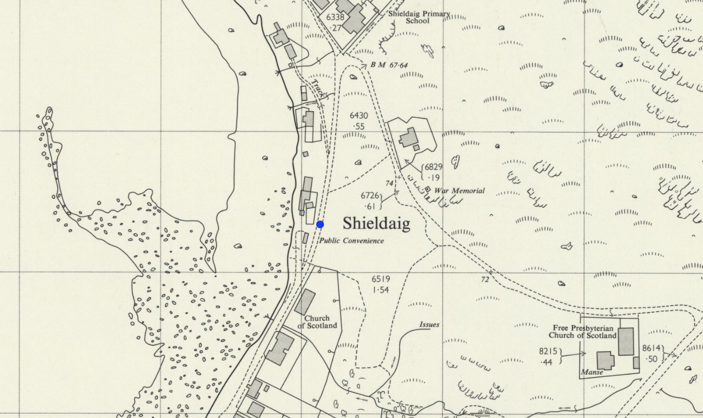
I've also been extremely surprised by image search, with one previous attempt at trying to learn more about a photo in a newspaper clipping featuring my grandfather and finding the original photograph. It was similar for this one, in that image search returned a whole batch of photos from this location, Shieldaig, but one from someone's personal blog was an almost exact match for the positioning of our shot.
This ties in perfectly with other photos on this batch, and Jack and Mary's regular visits to the Highlands.
The sloping houses of Stanley
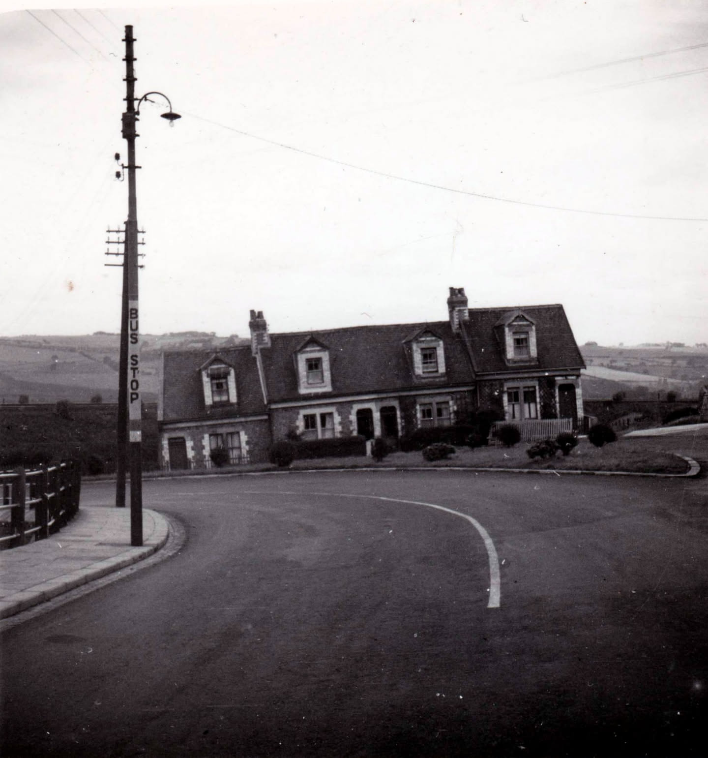 I love this photo of this row of sloping houses. A rudimentary measurement with the Windows on-screen ruler says it's an approximate 6° slope!
Finding this location was surprisingly easy, but massively helped by the handwritten caption on the back, "21 August 1950 Sloping houses, Stanley, Co Durham". Coincidentally, as I write this, that's just 3 days away from the 76th anniversary of this photo being taken!
Looking at the photo for clues we have:
- four houses / one large house
- a 90° bend in the road, with a junction coming off the bend
- a bus stop
- hills in the distance
- there's a very straight line running to the left behind the houses - is that a railway line?
If you head to Stanley on Google Maps, just to the west of the Beamish museum, there's an ideal candidate that jumps out to me immediately. Before I show you the map, though, let me also show you the Bellingcat OpenStreetMap search tool. This is a great website that lets you search an area for key features that appear within a specified distance of each other.
I have found that it's best to add features based on points first - actual things you plot on a map, rather than lines such as roads. When it comes to how the Bellingcat tool displays the results, doing it this way around, to me, makes it easier to see what you're looking for.
In our case, we set the map area to encompass Stanley and add the filters based on what we can see: a bus stop (highway = bus_stop), a building (building is not null), a road (highway is not null), and potentially a railway line (railway is not null). As this photo was taken before the widespread Beeching railway closures of the 1960s, we don't know if this is an active railway line or a former one, so railway is not null should pick up both - if there's still a trace of it today.
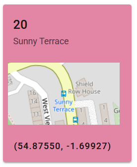 Hitting search and we get 38 results and one of them, having seen the potential candidate location on the map already, appears to be bang on:
Zooming in, there's a near-90° bend in the road, a bus stop, some houses and, in the background, the Consett & Sunderland Railway Path. Jumping into Street View and everything lines up beautifully but, sadly, the sloping houses are gone - replaced with a few, level, semi-detached homes instead. Rounding the bend, you come to a bridge that carried the former railway line over the road.
This is a great example of how tools can help quickly filter locations on maps and help with geolocating a photo. If that railway line had completely disappeared and we took out that filter, we would have returned all the bus stops and still have matched this location. That said, the sharp bend in the road is so distinctive, it's pretty easy to locate without the additional search tools.
The railway station
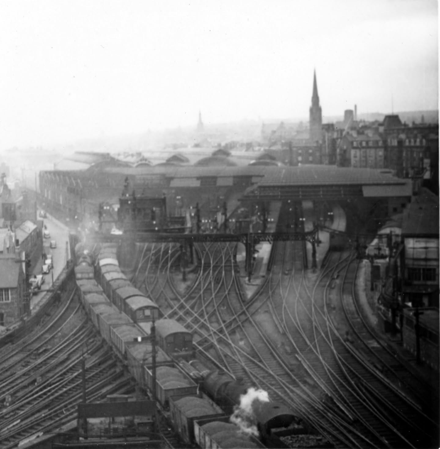 This photo shows a large railway station. I think I can count 12 lines going into or through the station, so it must be a large, industrial city. The open coal or gravel wagons in the foreground hint at that too.
To me - with no real idea where this is - the key clue isn't in the photo itself, it's the context of the photos it's with in the developer's photo wallet, and three in particular give the context I need: one of a sign advertising a football match between Sunderland's A team and Trimdon Grange C.W. [Colliery Welfare] in the Wearside League, and two of the iconic Tyne Bridge between Newcastle and Gateshead.
Jump over to the modern-day station in Google Earth and it's a clear match. The spire of St Mary's Cathedral lines up nicely but what of the other church in the background?
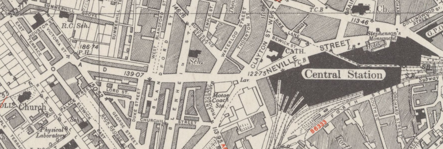
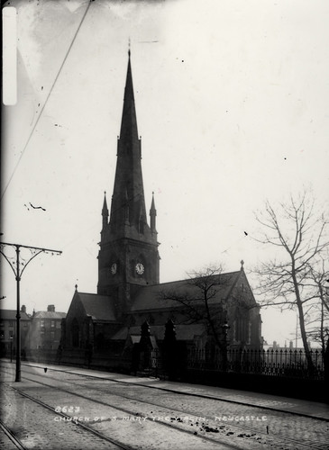 Old maps show a church existed in roughly the right spot and, doing a bit of research revealed that there was a church that was demolished during regeneration - St Mary the Virgin on the junction of Rye Hill and Westmorland Road. According to this website, the church closed in 1964 and was demolished just 2 years later.
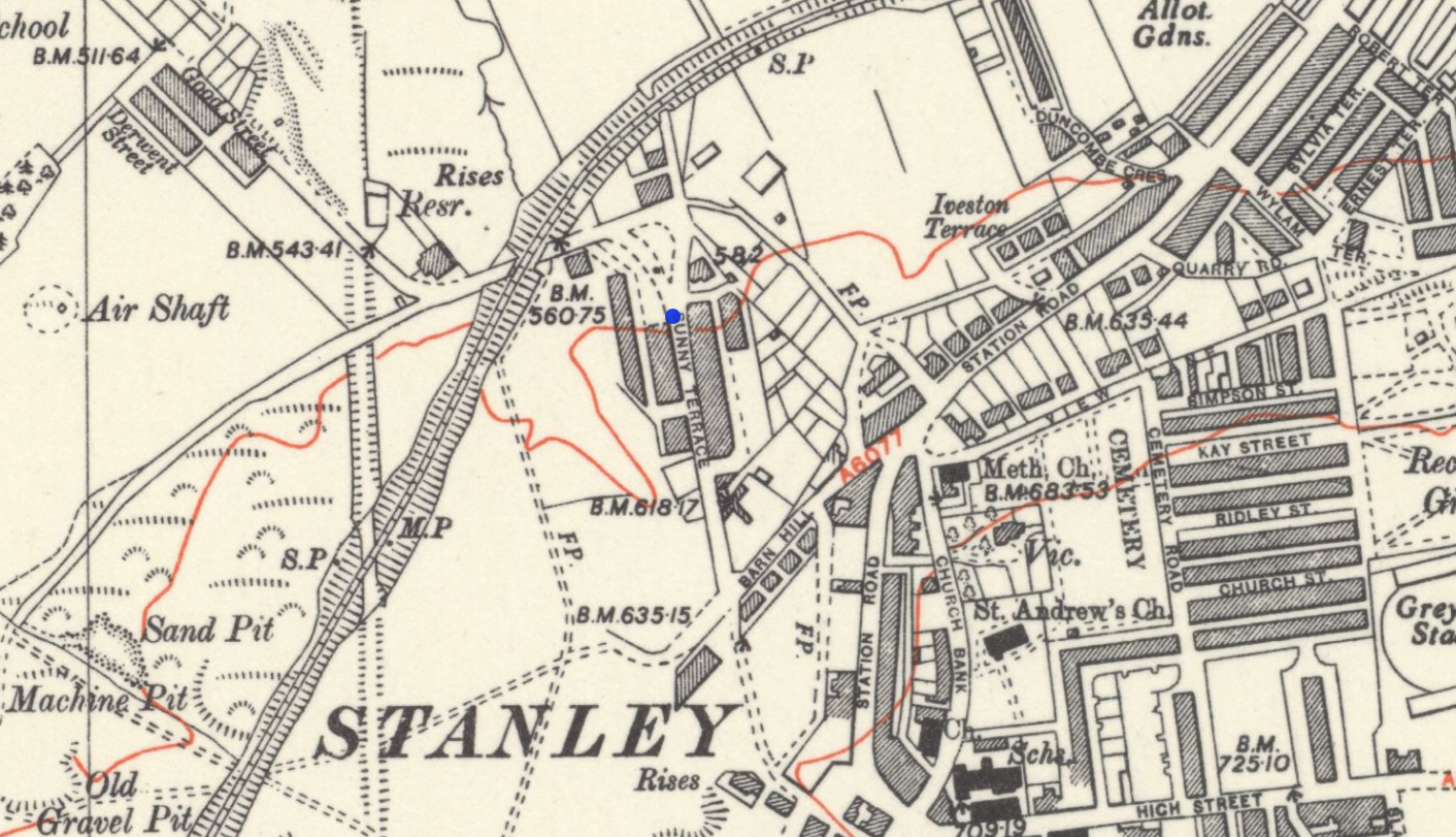
On this map published in 1952 you can see the church on the road junction on the left, in line with the station. I also believe the photo was taken from the roof of Newcastle Keep, which is just off the right edge of this map.
I also noticed that the far-right trackbed of the modern day station has been filled in for additional car parking, bike parking, a waiting area, and food and retail outlets.
Pevensey perseverance
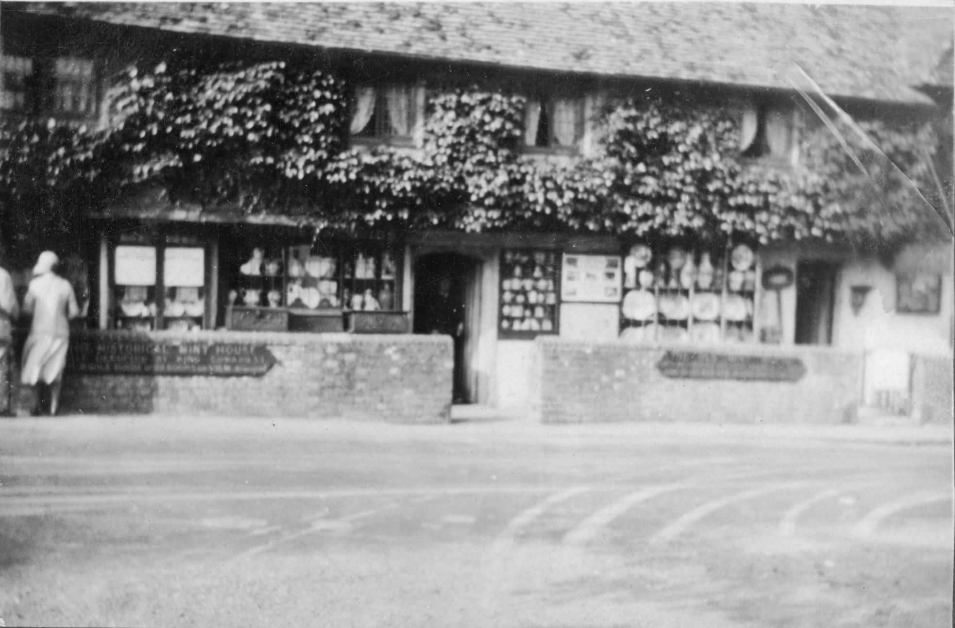
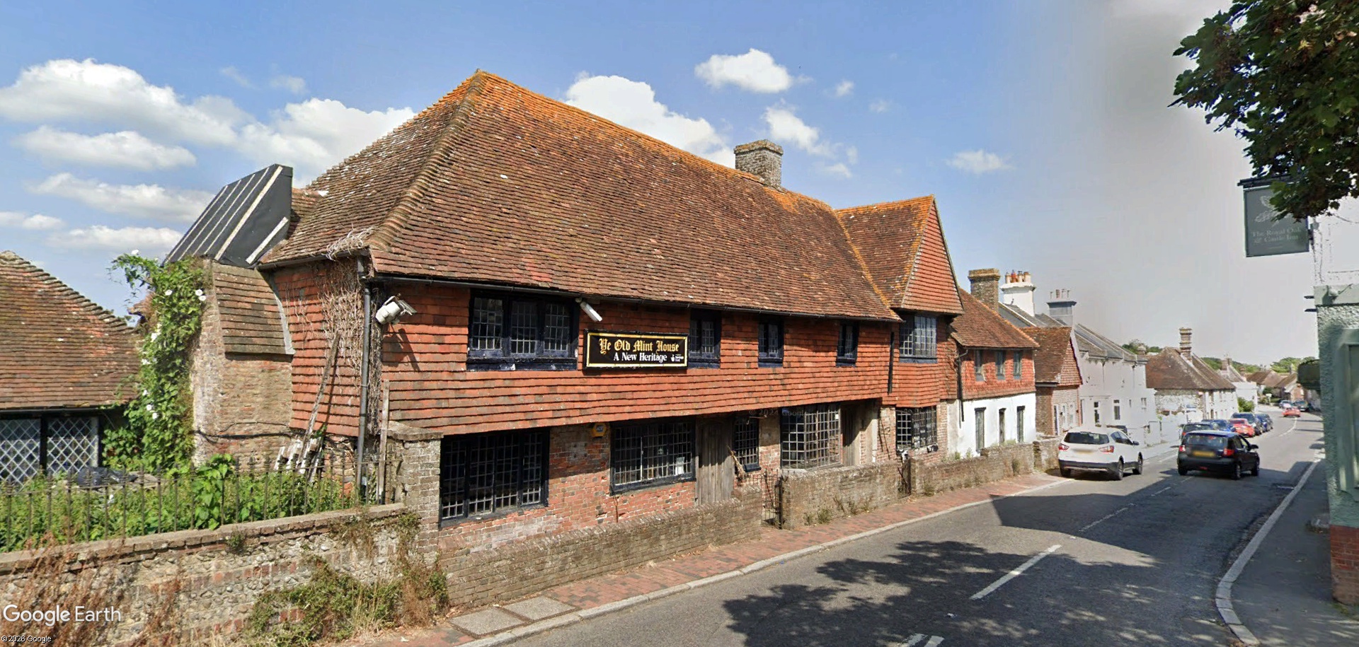
Here are a few more images that show how locating one image can help find others. The first of these is easily Googleable thanks to a few words readable on the sign on the front wall, "... historical mint house", which immediately finds the 16th-century building on the corner of High Street and Castle Road, Pevensey, on the south-east coast.
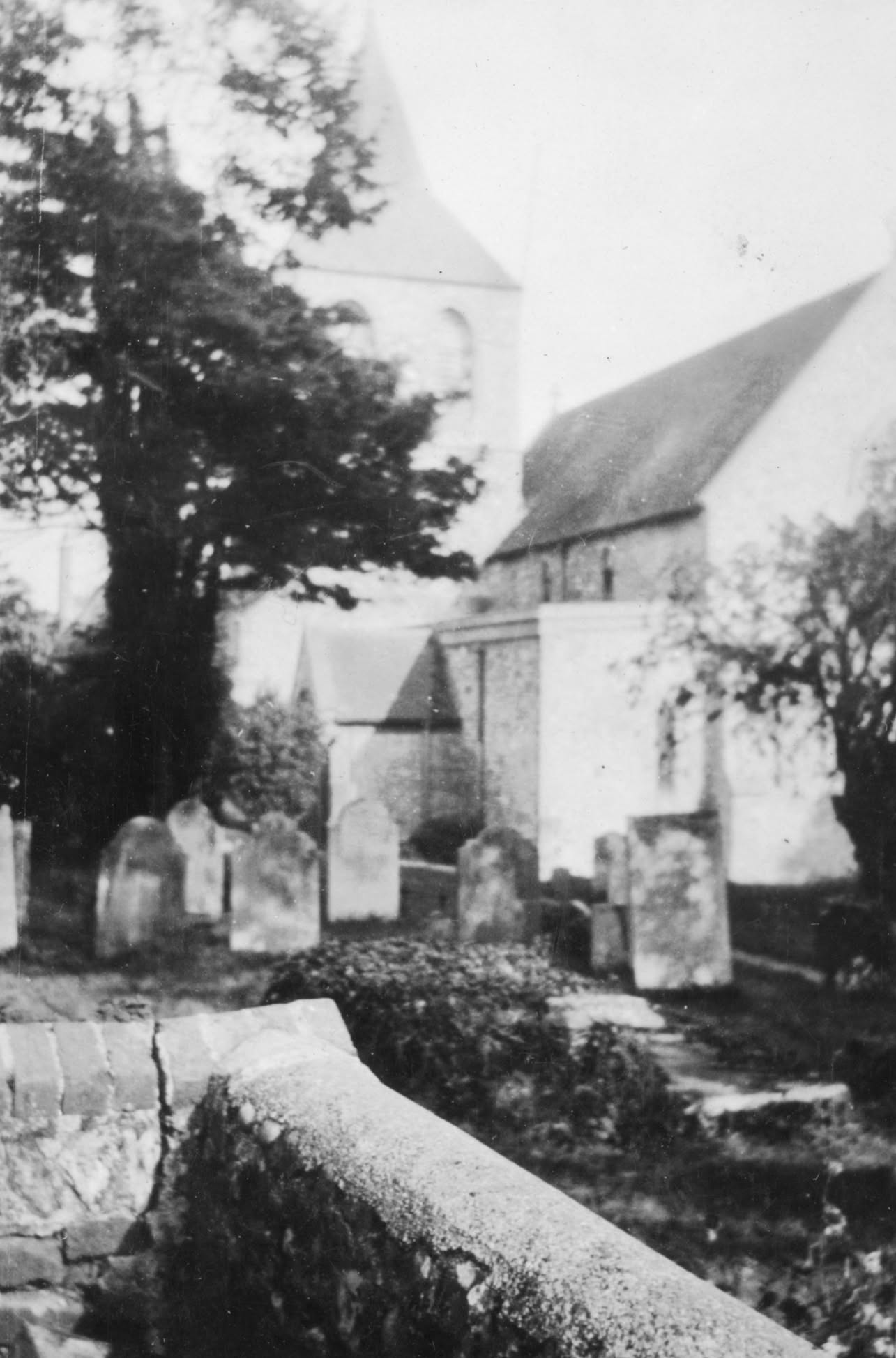
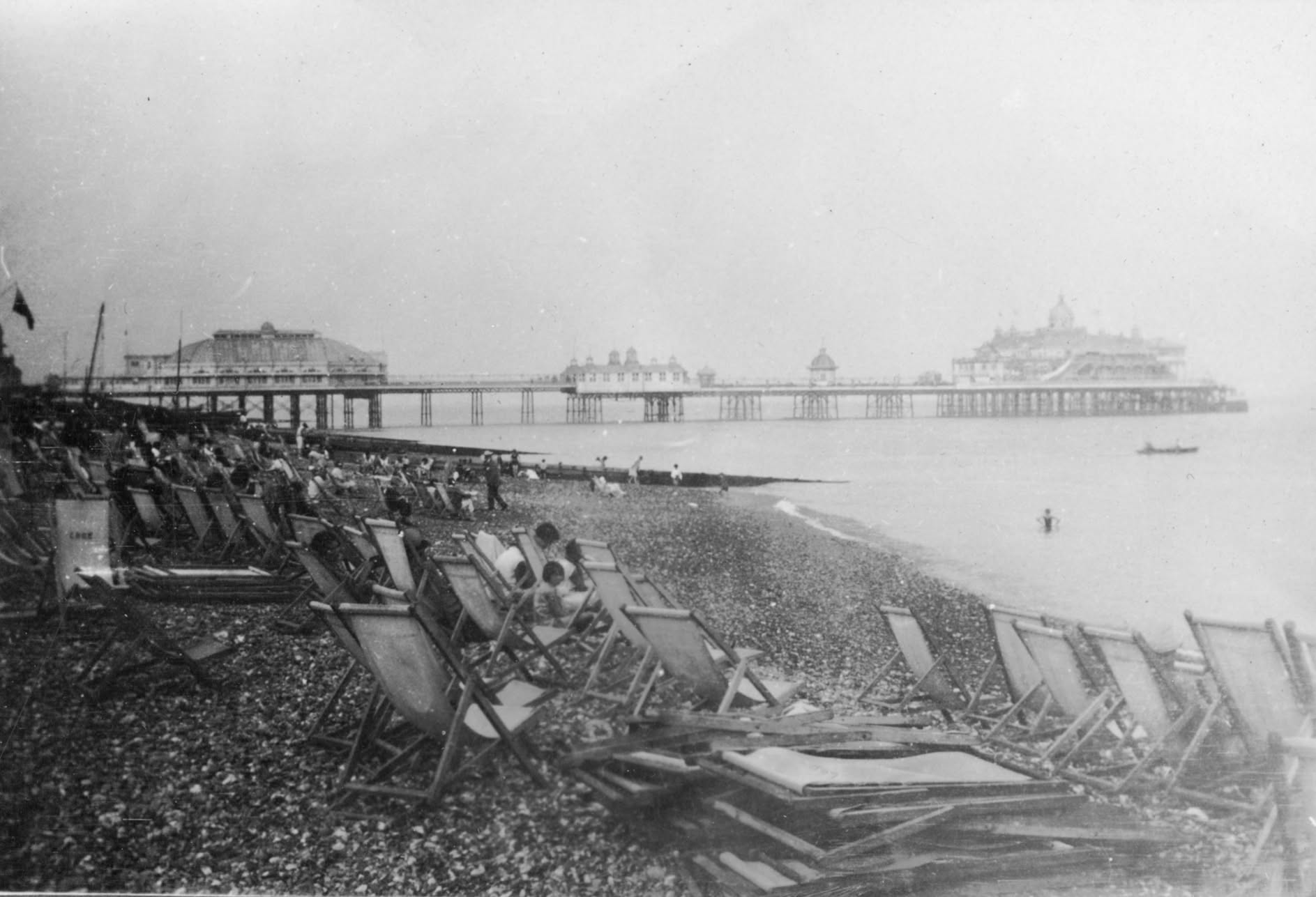
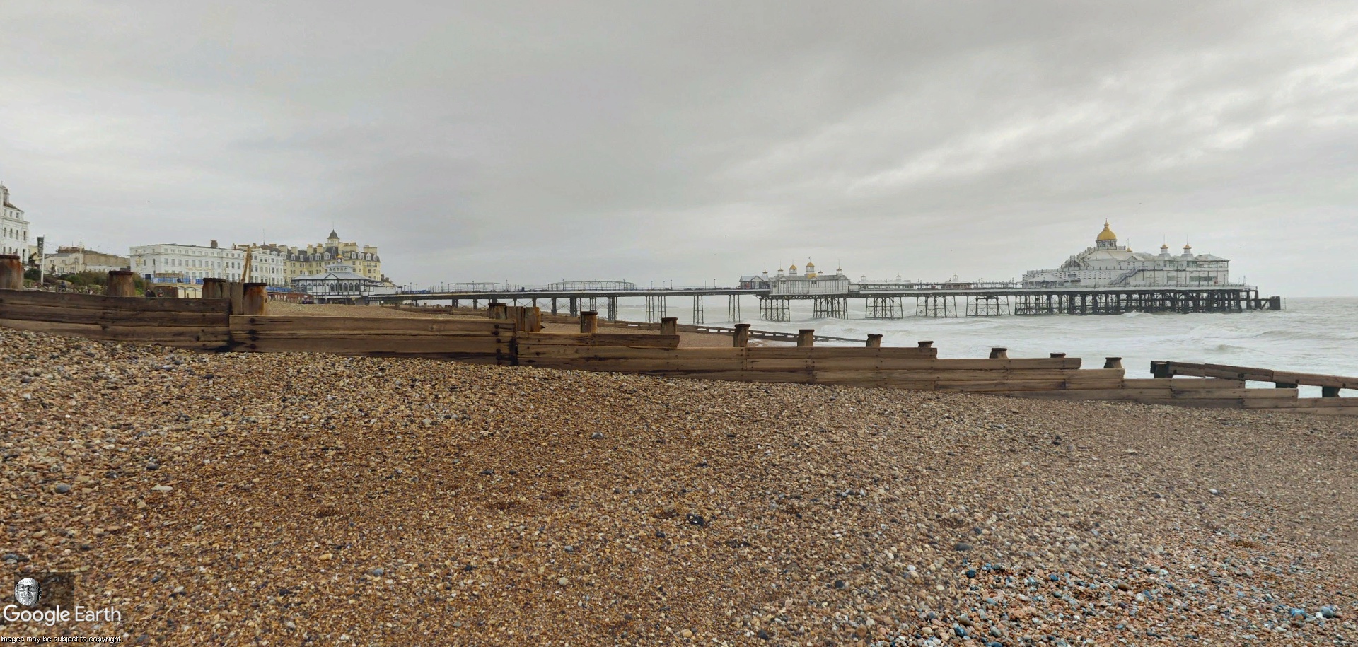
In the photo album alongside the Mint House is a photo of a church and a pier - could there be any relation between them?
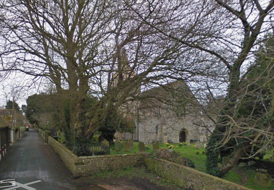
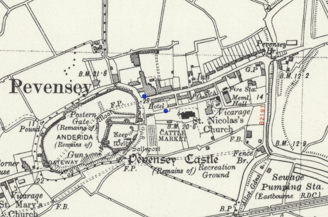
Starting with the church, I couldn't see any identifiable signage to give me a name, but I can see there is a church on the map, just around the corner from the Mint House. Hitting it up on Street View and... it's a match! If you actually look back at the map from 1947 you can see where the road widens as it nears the castle end of Church Lane; this photo was taken at that point judging by the visible wall in the photo.


 One that's defeating me (for now)
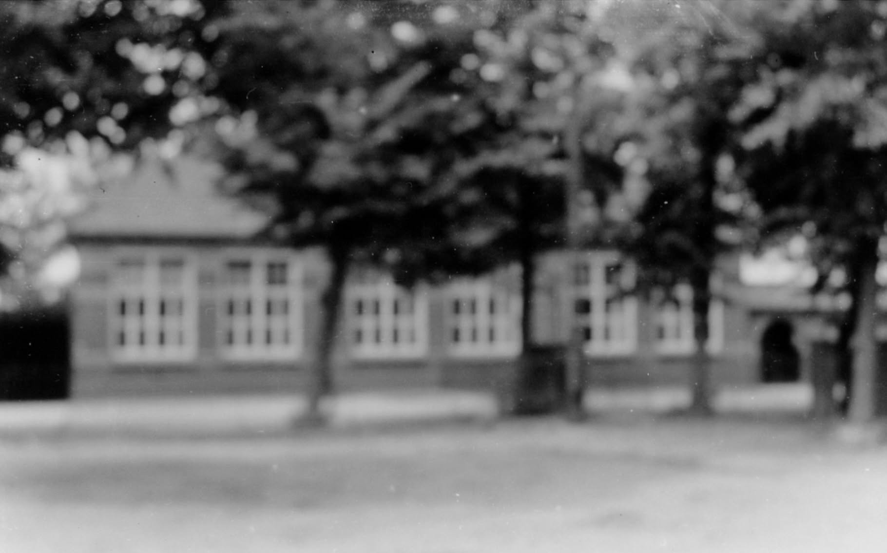
This photo is captioned "1960 The School, Rykevoort, Holland [Rijkevoort, Netherlands]. Jack was stationed here in Winter 1944. Lived in the school."
Another is of the windmill (also extremely out of focus) that stands in the middle of the village which is captioned "1960 The Old Windmill, Rykevoort Holland. Jack was stationed near here -the opposite side of the road, Winter 1944".
Not only does that help me locate where that building was located, it also helps me with my belief that this building no longer exists. There's no trace of a building that looks like this in Street View. There is a school building, but it just doesn't look like this anymore.
I did find some old photos of Rijkevoort on Flickr shared by BHIC, the Brabants Historisch Informatie Centrum, a history centre for the North Brabant region. I've sent them an email to ask if they recognise the building or are able to give me any more information. I'll add an edit here if I get a response.
Edit: Just before this article was published, I heard back from the BHIC. They've confirmed it was the Roman Catholic primary school that stood in the village square and shared a link to a search facility I hadn't discovered before.
They very kindly shared a link to this image (I can't republish it here) which shows what the school actually looked like. It's not all blurry
Taking a look around those archives, I also found this photo which shows the school in relation to the village's windmill. To me, it looks like the school was actually on the current-day grassy triangle as opposed to around the edge of it, as I had previously assumed. Here's what I think is the same view in Google Earth - what do you think? Take note of the windmill and the house to its left with the triangular window shape in the roofline.
Historical map images used on this page are reproduced with the permission of the National Library of Scotland, unless otherwise stated. Search and view the maps in their amazing collection at maps.nls.uk.
Modern day map images from OpenStreetMap, unless otherwise stated.
Photo of St Mary the Virgin church is public domain.

No AI
used in this article.
 Hi, I'm Chris. I run the online shop for one of the UK's largest charities.