After a friend and I were talking recently, we commented on how kinda unusual it was that he was originally from Mile Cross in Norwich, and I was from Three Mile Cross, near Reading.
"What happened to Two Mile Cross?" we wondered. It's in Aberdeen, apparently.
Which got us thinking: how many other "Mile Cross"es are there out there?
Jump to a Cross:
Mile Cross, Norwich
On the north-western edge of Norwich lies a housing estate called Mile Cross.
Built after the first world war, it was designed to be a "garden suburb" of Norwich, providing affordable social housing and amenities in pleasant surroundings, yet within easy reach of the city.
Originally part of the larger area of Hellesdon, the estate appears to have gotten its name from one of the crosses placed on plinths around to mark the city boundary.
Stavros1, CC BY 3.0, via Wikimedia Commons.
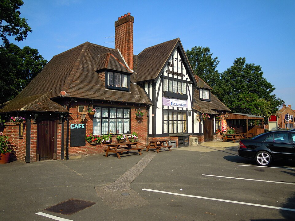
Outside the entrance to the Boundary pub on the north end of Mile Cross, you'll find a large block of stone with the inscription:
Base of the 15th century Mile Cross which stood near to this spot to mark the bounds of the City of Norwich.
Of the available OS maps on the NLS website, the 1919 map appears to be the last published before the new garden suburb appears.
The maps take a leap forward to 1925 and - tada! - a whole housing estate has appeared. As subsequent years go by, the slow sprawl of the estate consumes the surrounding fields.
The more detailed maps of 1955 show the make-up of the estate; intersecting residential streets with pockets of public gardens and allotments. The maps show the estate had what appears to have been designed as a main entrance on its eastern side through Suckling Avenue, piercing through a pair of bowling greens and labelled as the Mile Cross Entrance Gardens.
These gardens exist today as public parks, owned by the City Council.
This pair of 1 acre (about 0.4 hectares) gardens form part of the Mile Cross housing development. [...] The intention of the gardens was to allow for two areas of public open space, one the mirror image of the other, which would form the centrepiece of the eastern entrance to the symmetrical estate.
I could describe the area more here, but I won't. Instead I'll direct you to The Mile Cross Man's website where Stuart McPherson has some great posts about the history of the area, as well as memories of people living there.
A good starting point would be What is Mile Cross?
Two Mile Cross
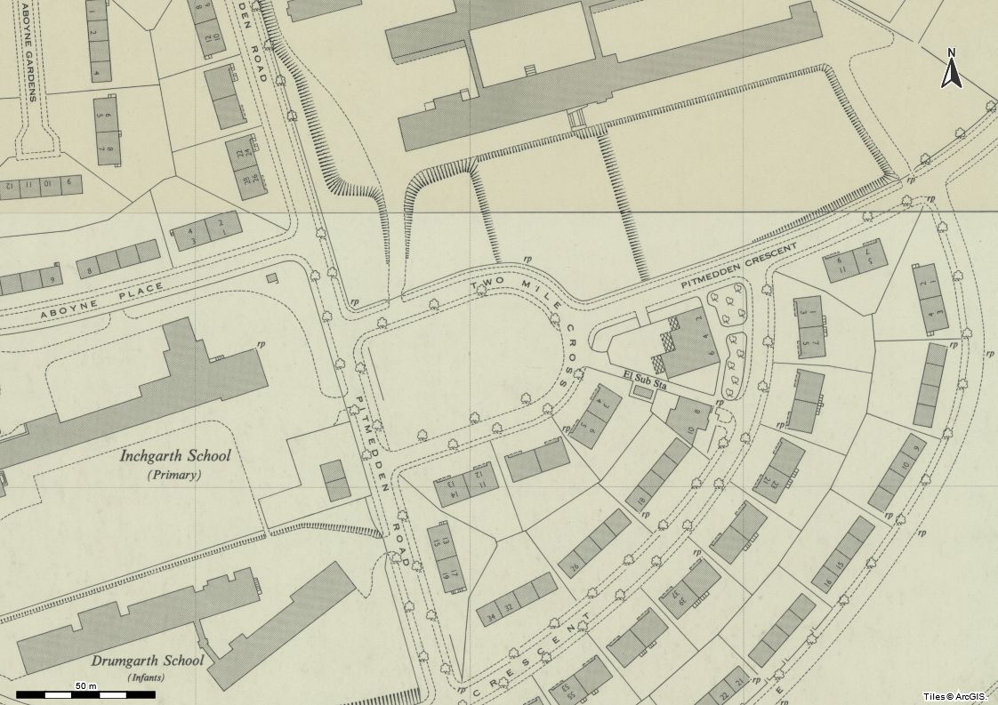
I don't know why, but I was actually surprised when results came up from my searching of Two Mile Cross. In this case it's a road on the outskirts of Aberdeen in the Bridge of Dee / Kaimhill area.
I can't find much evidence about how it got its name. One website gives a brief mention of a
spot which formerly went by the name of Two Mile Cross
in the early 1600s, and around the time of the Battle of the Brig of Dee.
Much like Mile Cross in Norwich, I'm led to believe that this area was the location of a physical cross; a marker of distance from the city. Sadly, even looking at the earlier maps that are available, I couldn't see remains or evidence of a cross. I did, though, notice that the parliamentary and parish boundaries run through the area, lending weight to the boundary theory, as in Norwich.
The residential street that bears this name today was built shortly after WW2. Of the available maps on the NLS website, the estates built on farmland west of the Bridge of Dee spring up between the 1938 (published c1947) and 1953 editions.
Today it remains a semi-elliptical residential street in the Kaimhill area on the north bank of the River Dee.
Three Mile Cross
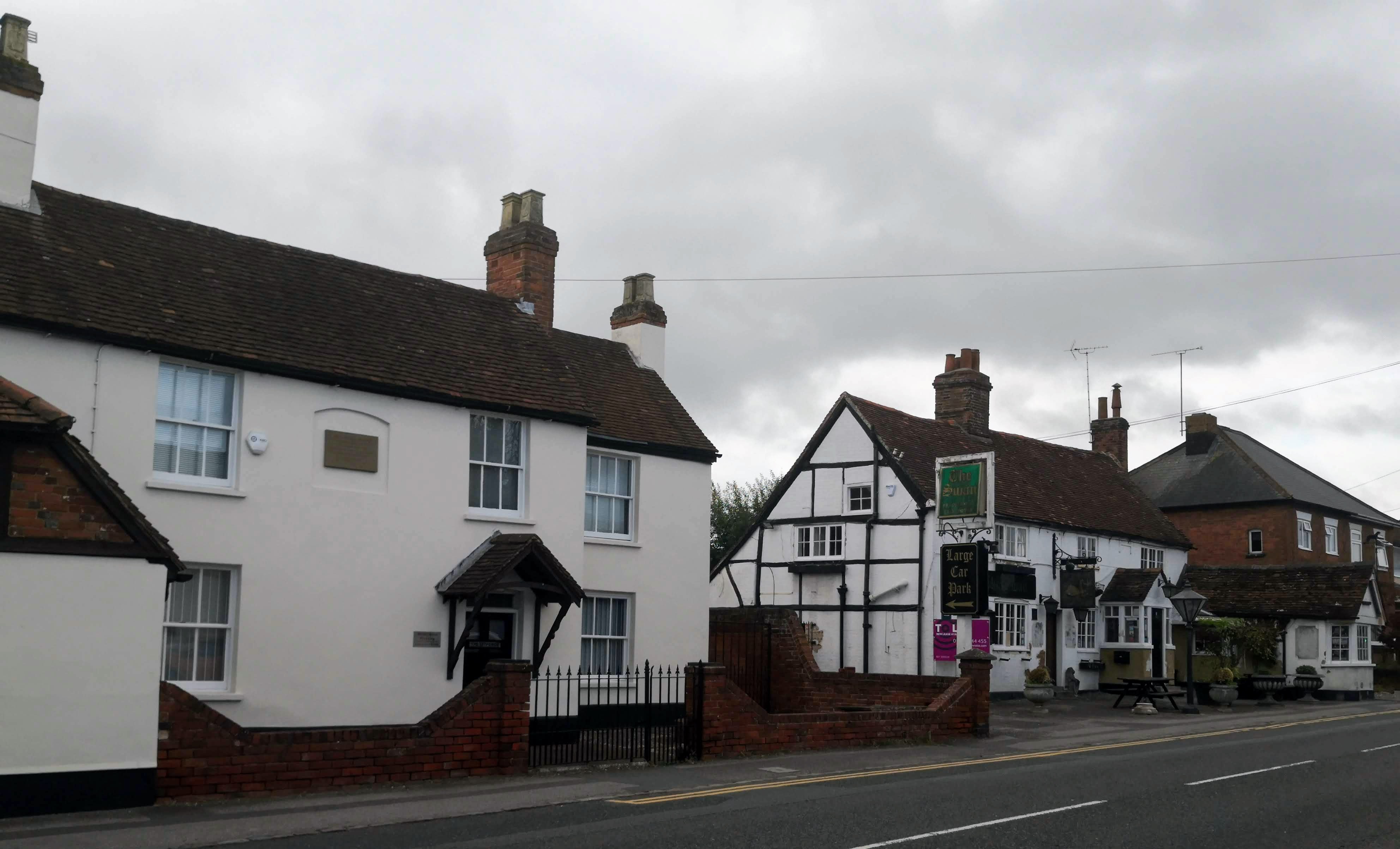
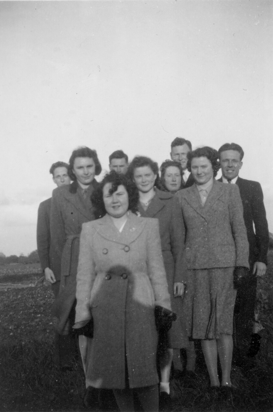
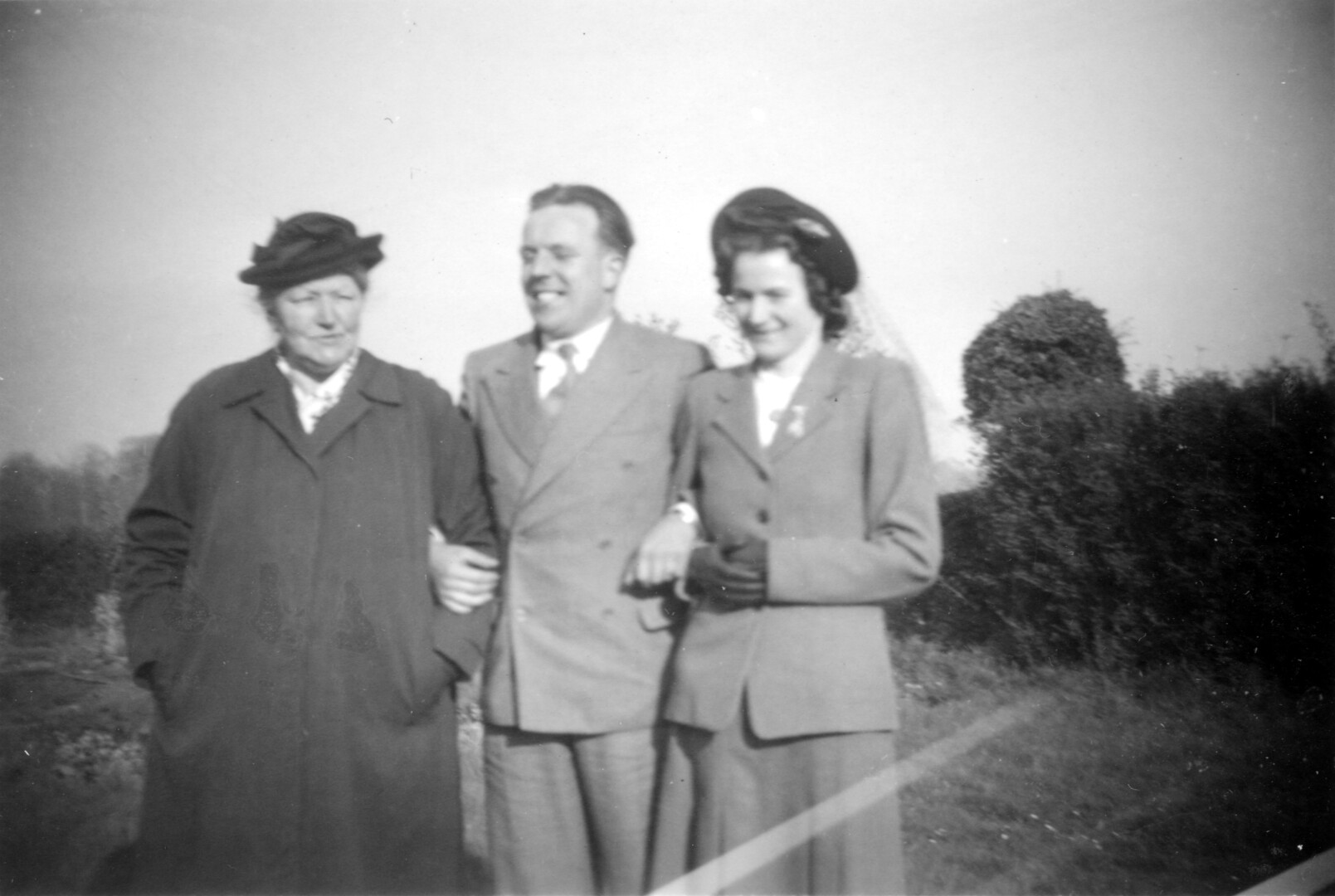
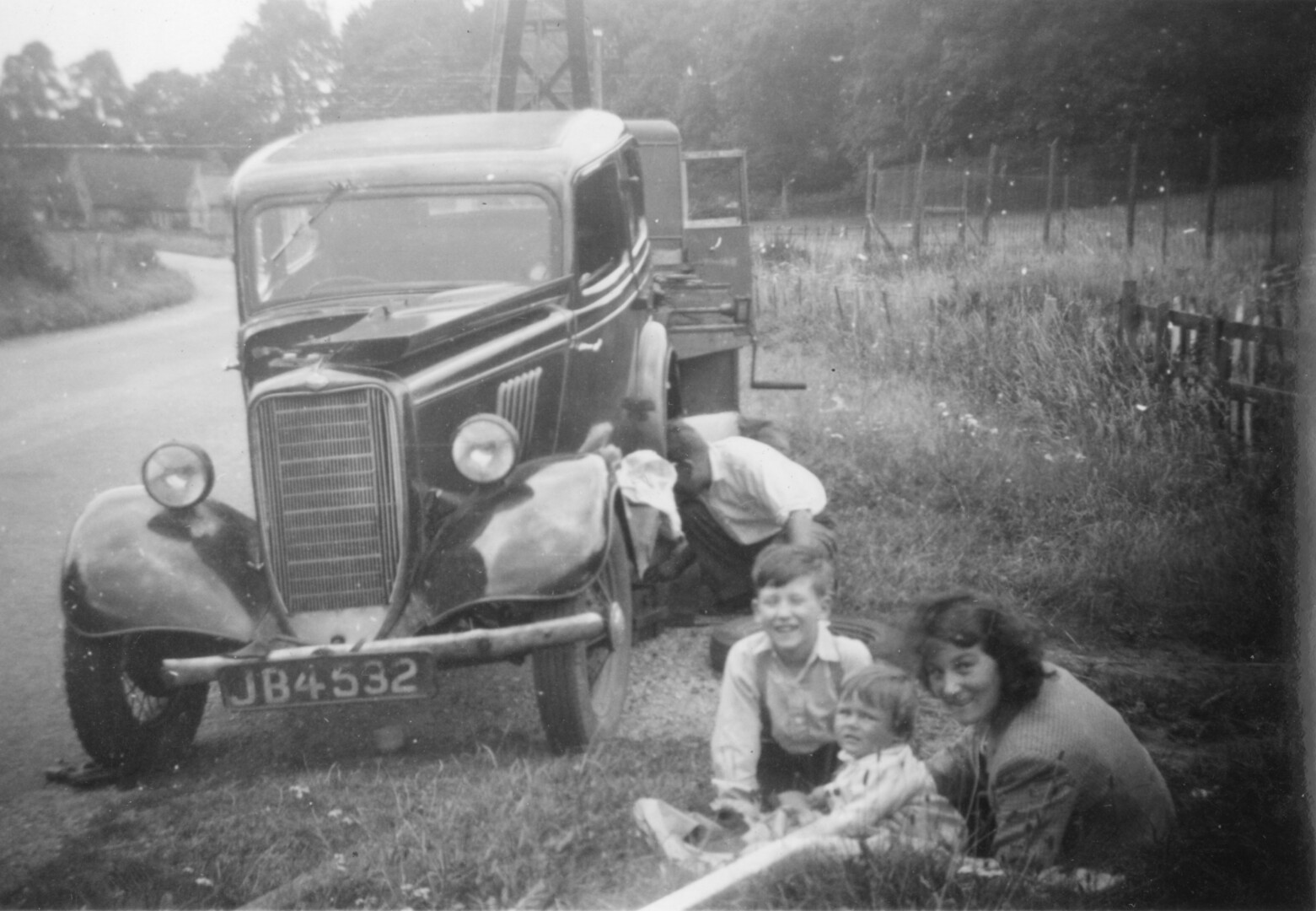
The one that I know the most about is my very own Three Mile Cross, so named as it is a village that grew around a crossroads three miles south of Reading. In fact, there was so much I was able to find, as well as my own memories of growing up there, I've decided to spin this one out into its own article.
Three Mile Cross was, at one time at least, world-famous due to one of its residents: the author Mary Russell Mitford and her depiction of the village in her short sketches published as Our Village. With her gambling-addicted father losing the family savings, they were forced to downsize from a grand country home, Bertram House (no longer standing) in nearby Grazeley, to a "cottage, no miniature house" in Three Mile Cross.
A "miniature house"?! I would love to have a house like that now! But how do I know this house so well? I grew up opposite it; it was a part of my daily view.
I'll compile everything I know, and have since learned since starting to research and write this article, about my home village into a post that will appear at some point later.
Four Mile Cross
These searches are where you start getting results like "four-mile cross-country".
Besides a pretty desolate-looking military base area in Lawton, Oklahoma, called Four Mile Crossing, the only Four Mile Cross I could find appears in The Comical Creatures from Wurtenberg, a series of "sketches" that seemingly provide back stories to a number of taxidermy scenes from Hermann Ploucquet's tableaux at the Great Exhibition of 1851.
The reference comes from chapter three of The weasels of Holm-wood:
...the very day all this commotion happened at Holm-wood the two pair met at their aunt's, old Mrs. Stoat's, of Four-mile Cross, as they had agreed. There the young fellows, overjoyed at the success of their scheme, changed their fair partners, and, to complete their happiness, immediately set out for a tour on the neighbouring Continent.
Whilst Ploucquet, according to the preface of the book, was from Stuttgart, and that appears to have been the setting for the animal scenes, the stories in the book appear to be aimed at a British, or at least English-speaking, audience.
Five Mile Cross
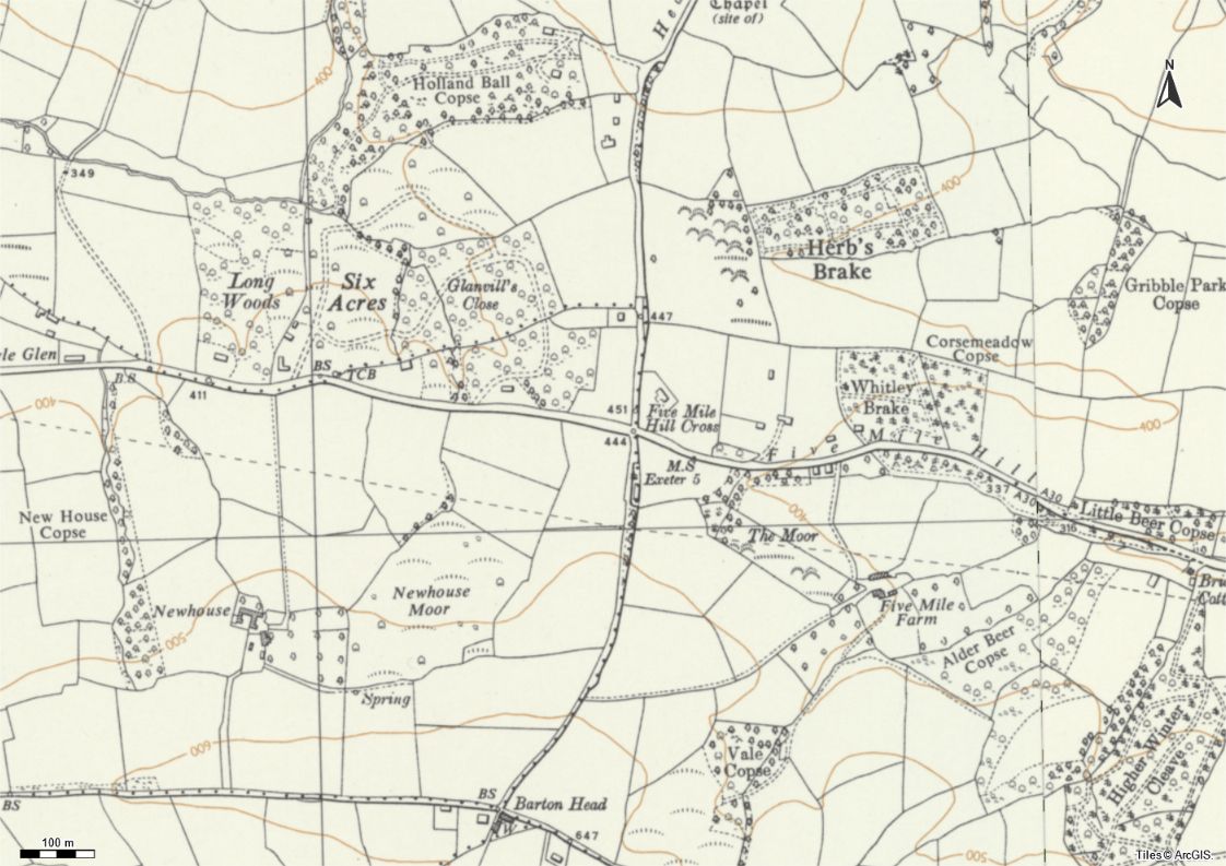
A newspaper article was the first result for this one. An article from the North Devon Journal, 30th November 1944, lists a number of villages in the county that were to benefit from being connected to the water mains. The one we're interested in is near Tedburn St Mary, Exeter.
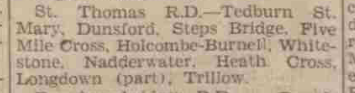
I'm not sure if it's a misprint or the names are interchangeable, but I've found reference to both Five Mile Cross and Five Mile Hill Cross. But, much like Three Mile Cross, to me it looks like the area gets its name due to it being some kind of ancient crossroads at the 5-mile point west of Exeter.
I also noticed that there's an almost adjacent road called Six Mile Hill, and that the milestone that's marked on the OS Maps up until the 1971 edition is no longer there - I'm assuming it was removed when the A30 was built and the road slightly realigned.
Sixmilecross

South-east of Omagh, Northern Ireland, 6 miles away in fact, is the tiny village of Sixmilecross. Today it's just one word, but historically it took various forms with spaces and hyphens.
In 1837, Sixmilecross was described as having 275 inhabitants in 65 "meanly built houses, mostly thatched, in one small street."
StreetView doesn't appear to show any thatched houses today, but looking around I'd say the village hasn't grown much since. The 2001 census has the population at 282. A bit closer to today, the 2021 census is a bit difficult to get a stat for just the village, but the slightly larger "census data zone" says there were 477 people in 270 households in the 3¾ square mile area, so I'd say the increase on 20021 isn't much either.
Like the singular Mile Cross, there's a reference online that Sixmilecross got its name from "a Celtic Cross that stood in a field at the top of the village and also from its distance of six Irish miles from Omagh." With ruined castles and ráths (ring forts) nearby, that's not entirely surprising.
I guess the village would've had the opportunity to grow further. A railway ran through Sixmilecross between Portadown and Omagh, with a station and goods yard in the village for 102 years between 1863 and 1965. What could've been if the railway had continued? Could there have been an expansion of the area?
Perhaps. Where I live now in rural Wales is probably in a similar situation. Although it's a borderline tourist area in Pembrokeshire, the village station here closed in 1964 and there have been recent calls for it to be re-established given the house building going on in the area.
Sixmilecross' station and goods yard is now what appears to be a private residence and a light industrial yard.
...and that's the lot. I think.
Searching the internet, maps, and other sources, I think that's it for the Mile Crosses. There does appear to be an American convention of naming roads, rivers and bridges by distance (such as Seven Mile Crossing, West Seven Mile Road, in Livonia, MI), but I don't think I can include them in the same list as my other 'Crosses.
That is unless you know different. But then, I don't have comments on my blog so you couldn't tell me about them anyway.
Resources and further reading
All the resources I used to find out about these Mile Crosses, just in case you were interested or fancied finding out more about these places. Most of these have already been linked to above, but here they are with some more detail in a handy list.
Mile Cross
‘Mile Cross Estate, Norwich’. In Wikipedia, 15 November 2024. https://en.wikipedia.org/w/index.php?title=Mile_Cross_Estate,_Norwich&oldid=1257575465.
The Mile Cross History Research Group. Milestones to Mile Cross. Norwich: The Mile Cross History Research Group, 1995. https://web.archive.org/web/20210510132347/http://milecrosscommunity.btck.co.uk/MilestonestoMileCross.
The Mile Cross Man. 'What Is Mile Cross?' The Mile Cross Man (blog), 3 May 2017. https://themilecrossman.com/2017/05/03/what-is-mile-cross/.
Two Mile Cross
Henderson, John Alexander. History of the Parish of Banchory-Devenick. Aberdeen, D. Wyllie, 1890. http://archive.org/details/historyofparisho00hend. Also reproduced at https://electricscotland.com/history/banchory/chapter17.htm.
Three Mile Cross
A full bibliography will appear in my dedicated article.
Four Mile Cross
Ploucquet, Herrmann. The Comical Creatures from Wurtemberg : Including the Story of Reynard the Fox. London : D. Bogue, 1851. http://archive.org/details/comicalcreatures00plou.
The Velvet Drawing Room. ‘Hermann Ploucquet’s Sensational Tableaux at The Great Exhibition 1851’, 7 March 2024. https://thevelvetdrawingroom.co.uk/hermann-ploucquets-sensational-tableaux/.
Five Mile Cross
The North Devon Journal-Herald. 'North Devon Water Board Bill'. 30 November 1944. The British Newspaper Archive (£). https://www.britishnewspaperarchive.co.uk/viewer/bl/0000522/19441130/017/0005.
Sixmilecross
GB Historical GIS and University of Portsmouth. 'History of Six Mile Cross, in and County Tyrone | Map and Description'. A vision of Ireland through time. Accessed 10 November 2024. https://www.visionofireland.org/place/29621.
GENUKI. 'Six Mile Cross, Tyrone'. GENUKI. Accessed 10 November 2024. https://www.genuki.org.uk/big/irl/TYR/SixMileCross.
'Geograph:: Sixmilecross, County Tyrone © Kenneth Allen'. Accessed 22 November 2024. https://www.geograph.ie/photo/55615.
'Mid_Tyrone_G1 Census Data'. Accessed 22 November 2024. https://explore.nisra.gov.uk/area-explorer-2021/N20002244/.
'Sixmilecross'. In Wikipedia, 28 October 2024. https://en.wikipedia.org/w/index.php?title=Sixmilecross&oldid=1253892207.
General
National Library of Scotland and Ordnance Survey. 'Map Images'. National Library of Scotland. Accessed 10 November 2024. https://maps.nls.uk/. Historic map images reproduced on this page with the permission of the National Library of Scotland, unless otherwise stated.
Article thumbnail derived from map image Landsat / Copernicus; data SIO, NOAA, U.S. Navy, NGA, GEBCO, and roadsign image from Shinfield Parish Council.
 Hi, I'm Chris. I run the online shop for one of the UK's largest charities.